Signed in as:
filler@godaddy.com
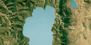
Tahoe Environmental Research Center: Lake Conditions by UC Davis shows real-time and forecast water temp, wave height, currents, plus air quality and UV info to help plan swimming, boating or paddling on Lake Tahoe safely.
Tahoe Area Mountain Bike Association (TAMBA): shows up-to-date local mountain bike trail status and reports (via Trailforks) so riders can see current conditions, closures, and cautions on Tahoe area trails.
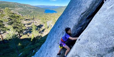
Mountain Project shows how Lake Tahoe climbing features vast granite trad, sport and bouldering across the northern Sierra Nevada, with classics at Donner Summit, Lover’s Leap and Woodford’s Canyon
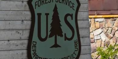
The USDA Forest Service Lake Tahoe Basin fire page shows current fire danger levels, Red Flag Warnings, restrictions and alerts to help the public understand wildfire risk and safety conditions.

AirNow provides real-time air quality data according to your Zip code helping residents and visitors stay informed about pollution levels and protect their health with accurate, up-to-date air quality information.

TahoeAlerts features an interactive regional map where you can click on specific areas to access links for signing up for alerts, keeping you informed and connected across the Tahoe region.
